Showing posts with label City skyline. Show all posts

Thursday, 20 September 2012

Hardly a slimy pit, just muck and mire


The time difference between these two shots was about 5 hours: the bottom image taken on the ferry to Manly at 10am; the top shot, the return trip to Circular Quay about 3pm. My, how the muck'n'mire of our mighty city sometimes just hovers to remind us of that which we do.


Friday, 16 March 2012

At arms' length


Being in the thick of a crowded urban streetscape is a joy: such a visual feast, such a cachophony, such an assault upon all senses. However, they say you only know happiness, real happiness, when you have experienced its polar opposite. Could it perhaps also be true, that you only fully appreciate the hurly burly of a city, when you can experience it from a short distance, at arms' length.

Come sit with me a while down on the pier beside the tall ship 'James Craig'. On your way down, grab a coffee and a warm plain croissant from 'Yots' at the Maritime Museum. That's it. Lean back against a bollard, and take a deep draught. Listen to the sound of my city with the mute button on.

This is my contribution to the Skywatch Friday Community.

Sunday, 18 December 2011

Narrowing differences by sidestepping them


Walking along the Cahill Expressway, I encountered fascinating shapes and reflections. By taking steps to the side, I could bring the geometry of the buildings closer together than they may have appeared to be from another angle. By removing the colour in my image, I could concentrate on the shapes and the lines. Rather than being confounded by difference, I was entranced by similarity.

Wednesday, 14 December 2011

Wednesday, 21 July 2010

The penal colony at the end of the earth!


Taken from the lookout at the top of the South-eastern pylon of the harbour bridge in the middle of winter with the temperature at a very mild 19C. This is looking south, on the right is the Bradfield Highway which is the road across the bridge. This highway segues into York Street which runs all the way down to the Town Hall.

Then we meandered around Circular Quay to the Opera House and had a couple of wines as we watched the sun set behind the very pylon we had looked out from two hours earlier. The lookout is that little bit right at the very top of the pylon.

Magic!

Tuesday, 18 May 2010

'Who's that tripping over my bridge?' roared the Troll


Plonked square in the middle of Sydney Harbour, immediately west of the bridge, lies Goat Island, so named because of its shape, so the Ranger sheepishly explained. The constant din of trains crossing the bridge would awaken the most gullible of trolls, should one happen to inhabit the island.


The location and aspect of the island is enough to cause apoplexy in a den of property developers. Just imagine: 13.5 acres = 54 building blocks @ $10m each = *ker-ching*!!

The two aerial shots of the island are courtesy of the National Parks & Wildlife Service, the current custodians of the island.


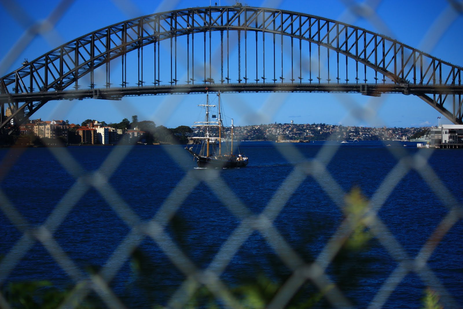
Looking directly east, and on full 250mm zoom, using the deck of the SHB as my spirit level, we experience the working harbour in all its glory. Under the bridge, on the left, is Admiralty House, the Sydney residence of the Australian Head of State. The fort like island in the centre is Fort Denison (or Pinchgut). From memory, the water tower on the ridge in the background is way out at Bellevue Hill. There are a coupla ferries and the square rigger is ... umm ... its not the replica Endeavour, nor is it the James Craig ... mmm ... it's the Southern Swan.


In 1788 there were 14 islands in Port Jackson. Since 1788, five islands have been connected to the mainland via reclamation (Berry, Garden, Bennelong, Glebe and Darling Islands) and two small islands have been joined (Spectacle island). Eight islands remain – Fort Denison, Rodd, Cockatoo, Snapper, Shark, Clark, Spectacle and Goat.

Sydney-siders might care to enlarge the images of the city skyline. This is where property developers (and Paul Keating) are going to put a red monstrosity 500m out over the harbour and step (expensive) apartment buildings along Barrangaroo. All in the name of returning the foreshore to the people.

Harumphf ...


Tomorrow: come with me to explore the Queen's Powder Keg and the spirit of convicts past.

Tuesday, 20 April 2010

Unvaulted - a panoramic skyline


In 1873 an unnamed photographer made the perilous ascent to the top of the clock tower on Sydney Town Hall. The clock face was still to be put in place, and he and two others climbed up steps and a series of ladders until they were 190 feet above George Street. The objective was to take a photograph between each of the columns of the finial - ten in all.


In 2007, photographer Peter Murphy made the same climb, and duplicated the original ten images. In his studio, he digitally stitched together the original ten images to form a panorama. He did the same with his recent ten images. Then he lined them up to enable those interested to make a direction comparison of their city 134 years apart.


Each of these stitched images is on display in the renovated Lower Ground Floor of the Town Hall until next Monday.

Murphy has also animated the original set of images and they are displayed on the wall in an never-ending loop, as well as on a computer where the viewer can forward and backward 'til their heart's content.

I have seen the Panorama Mesdag in The Hague. Our panorama falls a bit short. Mesdag was set apart in its own room and was 360 degrees with sound effects. However, I still found this panorama engrossing as it is of a city that I know intimately.

I could only find nine of the ten originals on the City of Sydney data-base.

Top Left - looking north down George St with the old markets in the foreground not the QVB
Top Centre - looking across North Hyde Park to the spire of St James
Top Right - looking east along Park Street through the centre of Hyde Park

Middle Left - looking across South Hyde Park
Middle Centre - looking south down George St with St Andrews in the fore-ground
Middle Right - looking across St Andrews to Broadway and a very distant Sydney University

Bottom Left - looking to the head of Darling Harbour
Bottom Centre - looking across the centre of Darling Harbour with Pyrmont Bridge on the RHS
Bottom Right - looking across the beginning of the Parramatta River with Millers Point on the RHS
The missing image is the tenth one which is looking north down York Street.

Wednesday, 14 April 2010

Sitting in the autumn sun


Walking, talking, eating, lying reading in the sun in the Royal Botanic Gardens on the edges of Farm Cove. Hard to beat this!


A Sunday in the middle of autumn, 25C, windy in the upper atmosphere.